$9,000
Complete package in excellent condition, tested and calibrated.
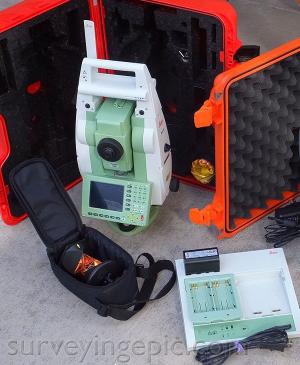
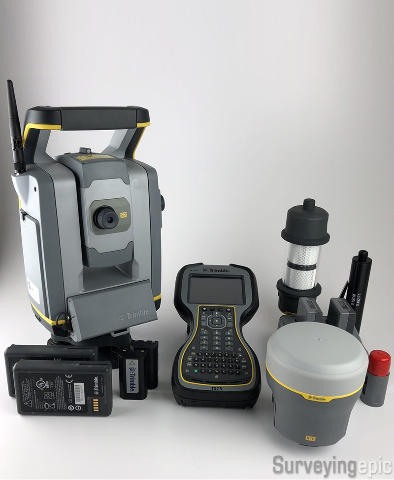
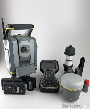
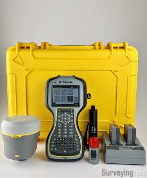
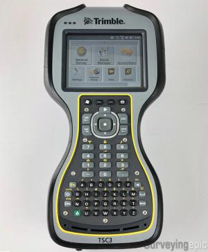
Comes with TSC3 data collector with 2.4 GHz radio, Trimble Access software, power kit, and AT360 target.
Includes:
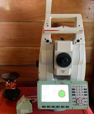
- Trimble S7 DR+ 3” Reflectorless Robotic Total Station with Vision
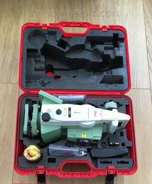
- Trimble Tribrach
- 2X S7 Batteries
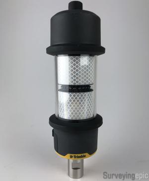
- Trimble AT360 Active Track Target
- 2X AT360 Batteries
- Trimble Hard Case
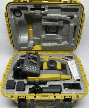
- Trimble R10 GNSS Receiver w/ GSM Modem and UHF Radio, Tilt Sensor, Hard Case
- 2X R10 Batteries
- R10 Dual Charger
- R10 Quick Release Adapter
- TSC3 Field Data Collector w/ Current Access Software, 2.4GHz Radio
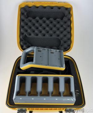
- Trimble Power Kit w/ 5 Bay Charger, Hard Case
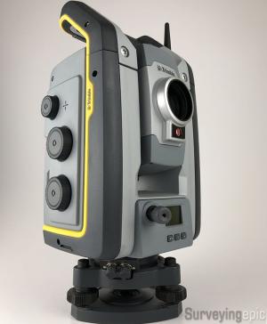
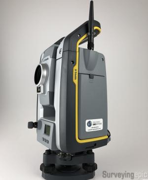
S7 Total Station
The Trimble S7 Total Station combines scanning, imaging and surveying into one powerful solution. Now you only need one instrument on the job site to perform all your data capture. Create 3D models, high accuracy visual site documentation, point clouds, and more using the Trimble S7, Trimble Access™ field software and Trimble Business Center office software.
Features:
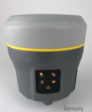
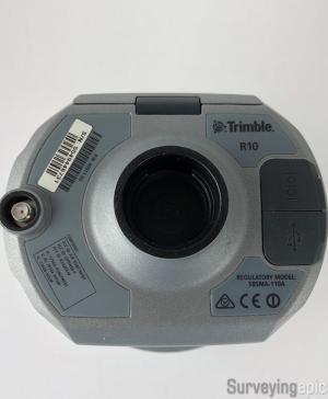
R10 GNSS
With the Trimble R10 GNSS System, survey previously inaccessible points, reduce occupation time and record faster and safer measurements than ever before. Built-in firmware gives automatic compensation for up to 15 degrees of pole tilt and RTK level precision anywhere.
The Trimble R10 GNSS system, together with the Trimble Access field software and the Trimble Business Center office software, provides the most advanced GNSS surveying system on the market.
Collect more accurate data faster and easier – no matter what the job or the environment, with the Trimble® R10 GNSS System. Built with powerful technologies like Trimble HD-GNSS, Trimble SurePoint™, Trimble CenterPoint™ RTX, and Trimble xFill™, integrated into a sleek design, this unique system provides Surveyors with a powerful way to increase productivity in every job, every day.
Features: